
Hiking · 🇧🇪 Belgium
Sainte-Cécile footbridge & Rocher du Chat
📍 Florenville · Luxembourg Province
✓ Checked on the ground
⚠️ Information for guidance only. Trip report and information gathered from tourist offices: it may have changed. Check opening times, access and the weather before you go. Learn more
⚡ At a glance
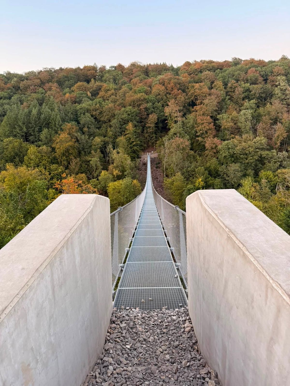
- Himalayan footbridge: 185 m long, 30 m high
- Rocher du Chat: 420 m altitude
- Bohanan viewpoint: 340 m altitude
- Area: Sainte-Cécile / Chassepierre / Florenville (Belgium)
📖 The story
A magnificent hike in the Semois Valley National Park! We crossed the brand-new Sainte-Cécile Himalayan footbridge, hanging 30 m above the Semois and 185 m long, before climbing to the superb Rocher du Chat, a rocky spur at 420 m that towers nearly 140 m above the river's meanders.
The path then took us to the Bohanan viewpoint, a wild promontory on the edge of a huge rock, with a splendid view over a still unspoilt Semois.
🚗 Access
- Start car park in Sainte-Cécile (Florenville), 5 minutes from Florenville on the N83.
- The footbridge can only be reached on foot (no access by car or bike); access is free.
- Another possible start: the Épioux nature reserve, in Lacuisine.
- Full loop footbridge + Rocher du Chat: about 12.5 km, +450 m, allow 4 to 5 h.
GPS point: parking or start. Sources: Visorando, Info-Lux. Information for guidance (Oct. 2026), check before you go.
📍 49.738513, 5.244278
Been there recently?
Opening times, parking, closures… help the community in 30 seconds.